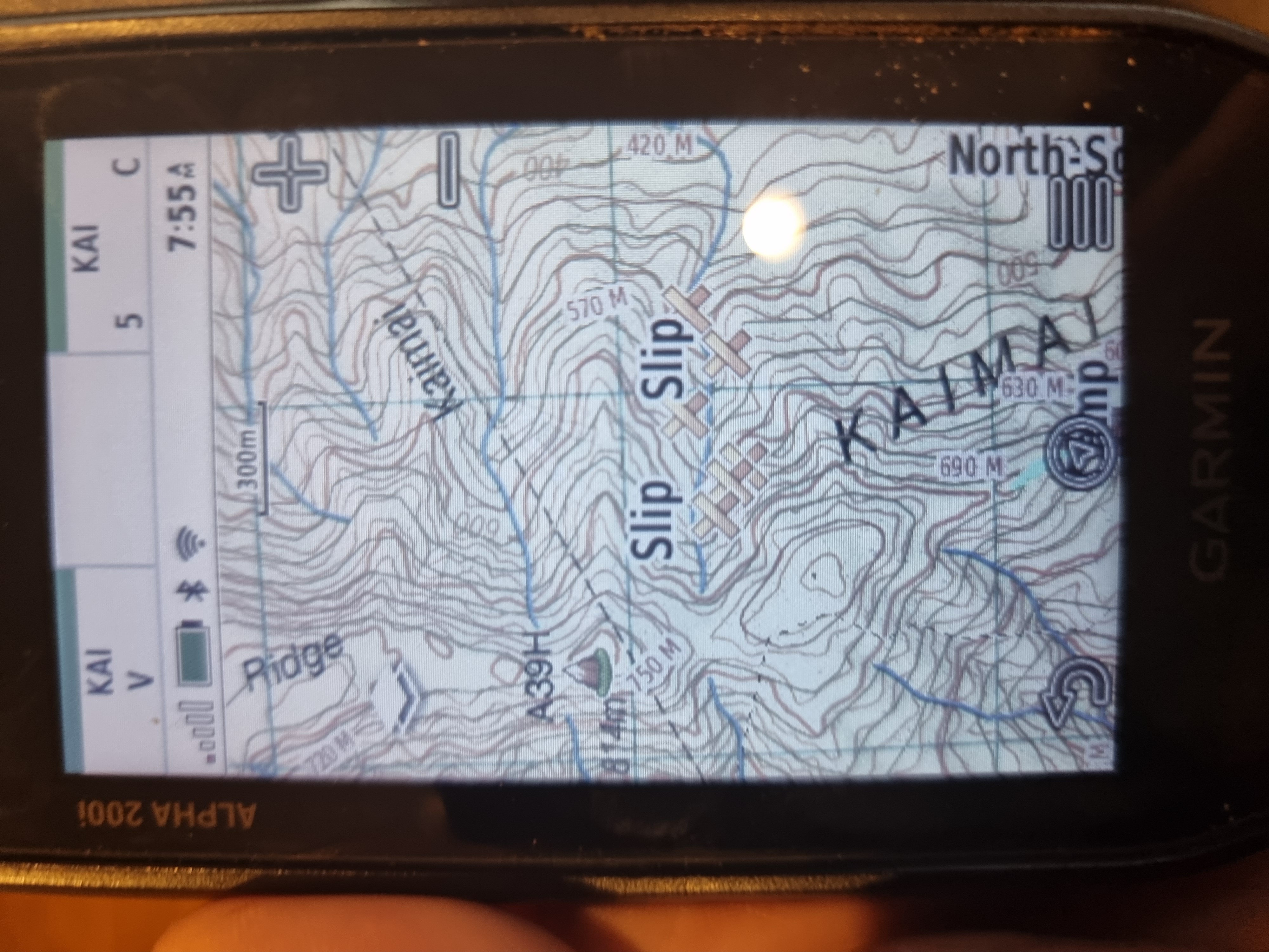
The maps they come with are total crap, doesn't bother me too much as just use in conjunction with hard copy, but would be nice to be able to have the nztopo 50 on my handheld.... Any suggestions welcome!!!
Thanks!
Welcome guest, is this your first visit? Create Account now to join.
Welcome to the NZ Hunting and Shooting Forums.
Search Forums
User Tag List
+ Reply to Thread
Results 1 to 15 of 16
-
17-05-2021, 02:37 PM #1Member

- Join Date
- Jun 2019
- Location
- Wellington
- Posts
- 45
Can you load nz topo maps onto a Garmin Inreach explorer+
-
-
17-05-2021, 03:02 PM #2
Be good to see what others say as have not tried on mine.
However, have you ever tried just using your smartphone with a Topo Map app? Find it very reliable..
-
17-05-2021, 03:17 PM #3
I don't think you can do much, mapping wise, with that model of InReach. I'm just playing with the 66i now, and you can add satellite imagery and doc boundaries okay.
However, a 1:50k topo on my phone is still my go-to. Easy and clear. Only costs a few bucks from the Play store to have the whole country.
-
17-05-2021, 03:34 PM #4Member

- Join Date
- Dec 2014
- Location
- canterbury
- Posts
- 5,335
A big fat NO
-
17-05-2021, 04:57 PM #5
I loaded Mr Purples version onto a 62s. Not quite as good as Topo50 but pretty good. Would that work?
-
17-05-2021, 06:39 PM #6Gone but not forgotten

- Join Date
- Apr 2017
- Location
- Hamilton
- Posts
- 4,129
-
17-05-2021, 07:06 PM #7
Those InReaches are running the old Delorne mapping system as Garmin just bought the tech as is and changed the name on the units to Garmin. Only the new GPS units with inreach functionality such as the 66 can have NZ topo maps loaded
-
17-05-2021, 07:17 PM #8Member

- Join Date
- Jul 2017
- Location
- Cambridge
- Posts
- 590
As said above, No to upgrading the maps. I brought an inreach+ for the PLB as i didn't own one, and the wife was happy I could message her easily in the bush. I still carry and use my 62s, but it is nice to know that if i had issues with my GPS and my phone went flat or broke I could rely on the basic maps on the inreach to navigate in the dark.
-
17-05-2021, 08:51 PM #9Member

- Join Date
- Jun 2019
- Location
- Wellington
- Posts
- 45
Thanks guys yeah sounds consistent with what I could find on the net, was just hoping I had it wrong! Appreciate the replies though, thanks all.
-
20-05-2021, 01:24 PM #10Member

- Join Date
- Aug 2019
- Location
- Tauranga
- Posts
- 194
I have a 66i and yes. Got it from Kiwi GPS they sorted it.
-
20-05-2021, 01:48 PM #11
Problem is no one tells you the mapping is rubbish until you find out for yourself once purchased and registered and then its too late!
-
20-05-2021, 07:01 PM #12
-
21-07-2023, 07:55 PM #13Member

- Join Date
- Mar 2019
- Location
- Auckland
- Posts
- 5
Chasing Mr Purple Maps
Hi does anyone know if PurpleMountainMaps.com is still trading please?
Tried ordering and the Payment is on hold by PayPal.
thanks in advance.
-
22-07-2023, 09:07 AM #14Member

- Join Date
- Jun 2023
- Location
- Auckland
- Posts
- 224
Thank you thank you thank you.
I have a Garmin Alpha 200i and I've persisted using it, but end up referring to the NZ 50 Topo App on the phone for contour detail. I googled Garmin's website and most of the new devices allow you to upload Custom Maps. I found an excellent how to article, and downloaded a map below. The only downside if you have Birdseye is it will not work if the Custom Map is installed. You can unselect the map in the Map settings if that's important to you, but for me, it's not a biggie when I'm bush hunting.
Here's the link. https://nzraw.co.nz/hiking/hiking-ge...to-garmin-gps/
 "Death - our community's number one killer"
-
22-07-2023, 09:55 AM #15Member

- Join Date
- Aug 2019
- Location
- Tauranga
- Posts
- 194
Sorry didn't read the title properly.
Tags for this Thread
Welcome to NZ Hunting and Shooting Forums! We see you're new here, or arn't logged in. Create an account, and Login for full access including our FREE BUY and SELL section Register NOW!!


 5Likes
 LinkBack URL
 About LinkBacks


 Reply With Quote


Bookmarks