Well, it's fairly barren country round there so if you want to stay up high you need water.
So here are a few I found.
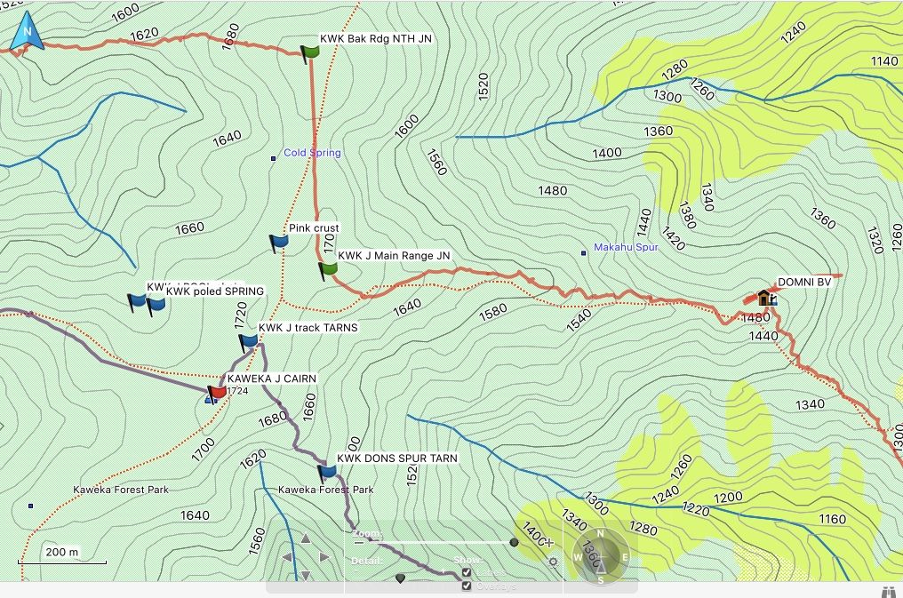
Location of Kaweka J Cairn: NZTopo50 BJ37 1891484 5646389 Alt 1724 m
Map references are NZTM WGS84
Distances and directions given below are from the cairn.
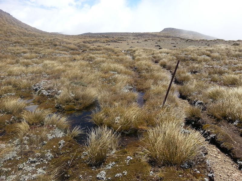
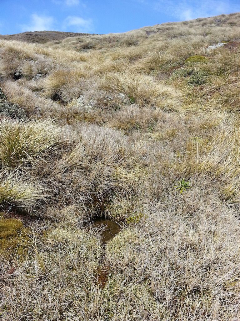
Track Tarns 1891549 5646505 120 m 15 deg mag Extensive but shallow
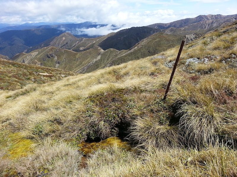
Poled Spring 1891334 5646604 240 m 300 deg mag Under a bank. Below a large swampy area. Two Small pools but looks reliable.
Pool Series 1891293 5646615 280 m 285 deg mag A series of pools in the gully. Below the poled spring. Could dry out.
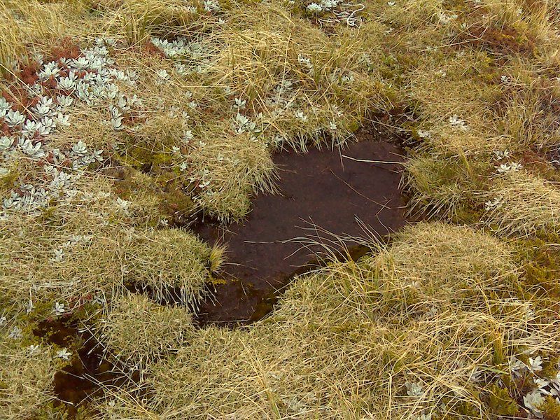
The Pink Crust 1891631 5646731 365 m 002 deg mag Dry the next day after rain.
I didn't like to pick off the scab but it seems pretty unlikely you'd get drinkable water here.
Topo Map blue cross location. See first post above.
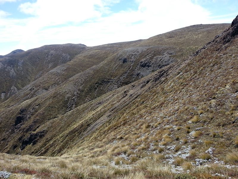
I walked right over this area but there is no tarn or pool there at the moment.
You could drop down 60 -100 vertical metres in the creek to get reliable water.
Cold Spring 1891624 5646944 568 m 323 deg mag Marked on topo map but not found Dec 2016
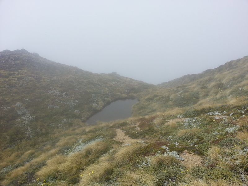
Dons Spur Tarn 1891723 5643207 315 m 105 deg mag 15m x 20m tarn in small saddle, 30m Sth of spur crest. Down Donís Spur. Alt 1620 m
Welcome guest, is this your first visit? Create Account now to join.
Welcome to the NZ Hunting and Shooting Forums.
Search Forums
User Tag List
+ Reply to Thread
Results 1 to 10 of 10
Thread: Is there water on Kaweka J ?
Hybrid View
-
16-12-2016, 10:49 PM #1Member

- Join Date
- Mar 2012
- Location
- Waikato
- Posts
- 2,189
Locations of Water around Kaweka J
Similar Threads
-
Leder Tanning kits - Rain water or Tap water
By FletchNZ in forum TaxidermyReplies: 13Last Post: 19-06-2014, 03:20 PM -
Kaweka
By Tahr in forum The MagazineReplies: 33Last Post: 24-03-2014, 05:20 AM -
Kaweka's
By Luke.S in forum HuntingReplies: 4Last Post: 05-07-2012, 09:11 PM
Tags for this Thread
Welcome to NZ Hunting and Shooting Forums! We see you're new here, or arn't logged in. Create an account, and Login for full access including our FREE BUY and SELL section Register NOW!!


 9Likes
 LinkBack URL
 About LinkBacks



 Reply With Quote


Bookmarks