Nothing last week but doing 5 hours tomorrow.Quote:
Originally Posted by Jusepy
Printable View
Nothing last week but doing 5 hours tomorrow.Quote:
Originally Posted by Jusepy
Nothing last week but doing 5 hours tomorrow.Quote:
Originally Posted by Jusepy
Good luck dundee ! It is a mint day here in the manawatu...
Wish I was out hunting.
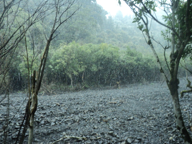
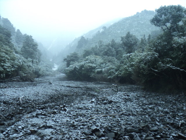
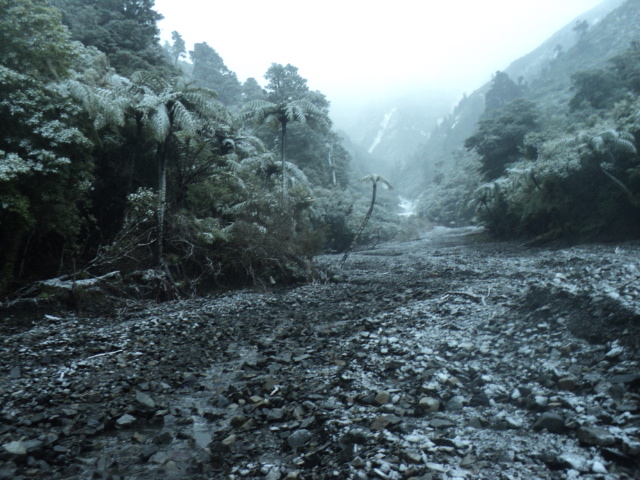
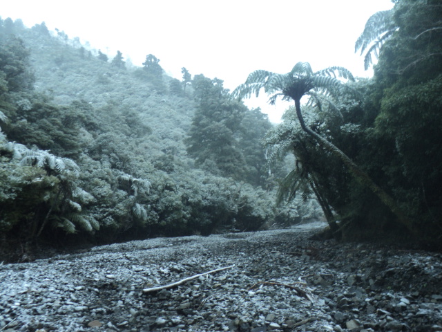
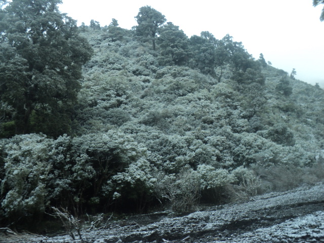
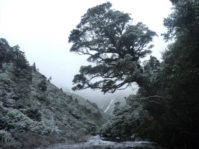
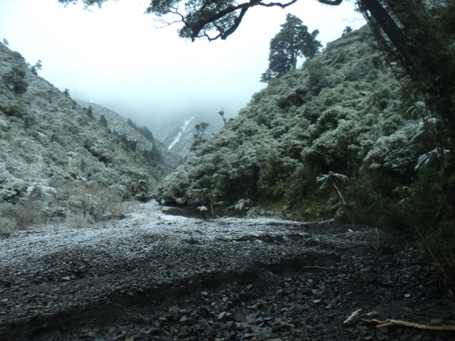
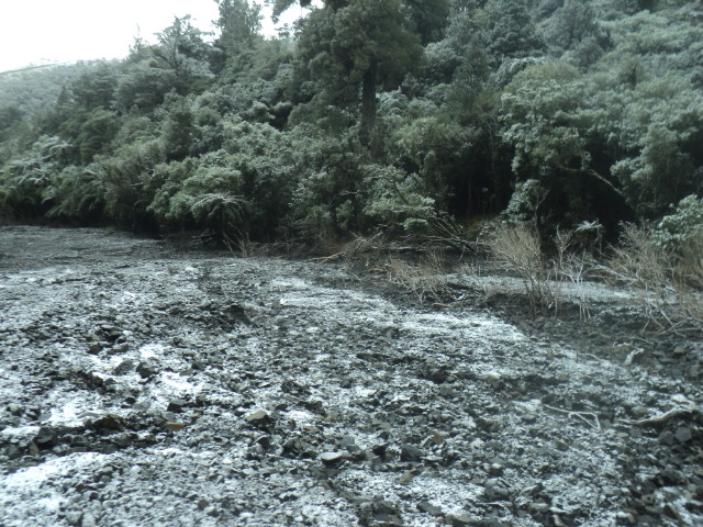
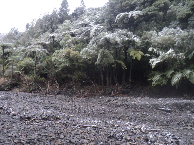
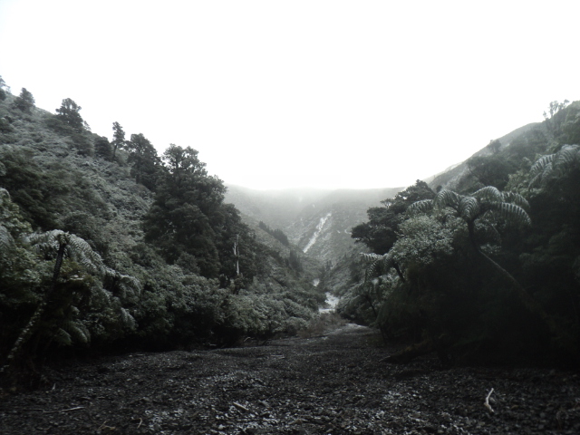
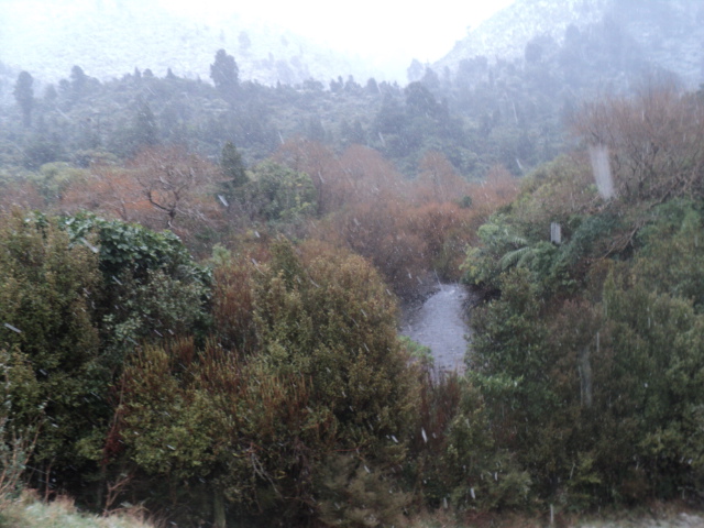
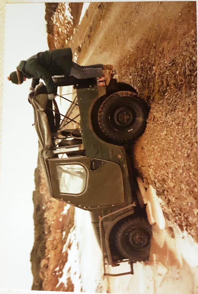
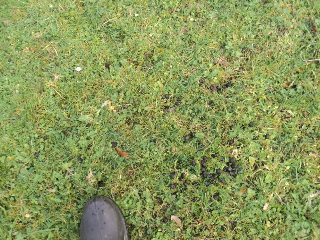
Had a day off on Monday as the southerly blast hit,river was blown out so no fishing.All the animals were bunkered down up here but went for a stroll anyway.
Attachment 174750Attachment 174751Attachment 174752Attachment 174753Attachment 174754Attachment 174755Attachment 174756Attachment 174757Attachment 174758Attachment 174759Attachment 174760
GoodQuote:
Originally Posted by Dundee
Was that up the dry creek?
Sure was,still a good dumping around Makuri yesty.Quote:
Originally Posted by Tahr
Used to be my old stomping ground. But its young mans country...those slips are pretty steep!
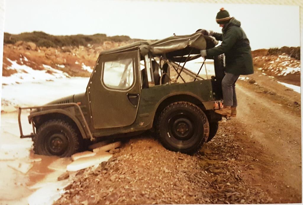
An old work collegue told me his dad was one of the bulldozer drivers that the NZFS used to build Takapari road in 1972?. When they had finished up the work on the road they were told there was going to be a few weeks wait for the low loader to become available for returning their Dozers. My mate lived east of Danivirke, so his dad decided to track the dozer to the West Tamaki roadend. Drove the dozer north from spot height 1170 about a km, then rode it down the screes till it stopped at the bottom, then tracked down the creek till in the Tamaki river bed and out from there.
A few of us keen types bicycled up there in the late 1970's (well before mountainbikes were a 'thing') We had those 3 speeds, with the gear change inside the rear hub. And you could still see where the leatherwood had been flattened as he headed north.
Try that these days and you'd be lynched:D
Searching for an old scope in the 40 foot container (moved house) and instead found my old photo album.
1979. Riding up Takapari road on bikes maybe 3 times the weight of current MTB's. And way before 'mountain' got tagged on the front of a bike with fat tyres and more than 3 gears. 1979. Even managed to get half way up ( an almost new back then) Travers A frame hut before the legs gave out.
Got photos of the road, which was lovely and graded. no potholes or washouts etc. But none of the turn off at spot height 1170 of the dozer tracks heading north sorry.
Was up there today very cold but lots of animals about.Quote:
Originally Posted by XR500
Sent from my SM-G986B using Tapatalk
Just confirming Brads' acknowledgement that it can get bloody cold up there!
Attachment 174952
But get down out of the leatherwood into the feed belt, and somewhere north facing and there's lots of donks up there.
Edit: fuck!!! Why can't they load like they look on my fricken computer!!!
Saved it by rotating it and its come out correct now.
Attachment 174953
Hope everyone keeps off the roof now the A Frame (Traverse)hut has been refurbished.Its a good climb from the Dannevirke side and the hut is much appreciated when you get to the top.Quote:
Originally Posted by XR500
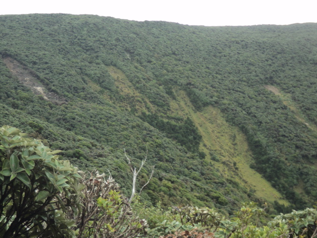
Did the fella drive his dozer down the "Cats Paw" slip that is about that height,fella must of had balls of steel!Attachment 174955
I am unsure exactly which spur/slip he chose. I can only remember seeing the old dozer marks heading North along the ridge from the road. I biked up there in 1979, and worked in the MOW with his son in 1985. Even back then he was aware of the potential for shit to get flung at him, so he was careful where he went and what he dozed. Ordinarily, in that sort of terrain safety would dictate you would doze yourself a big fuckoff track in front of you.
He didn't do that:cool:
@XR500 the mans a fecking legend!;)
No was down above the Stanfield you can still see the track walk up toward the saddle and look back you'll see a very clear 3m track of leather wood in the native from the road downQuote:
Originally Posted by Dundee
Sent from my SM-G986B using Tapatalk
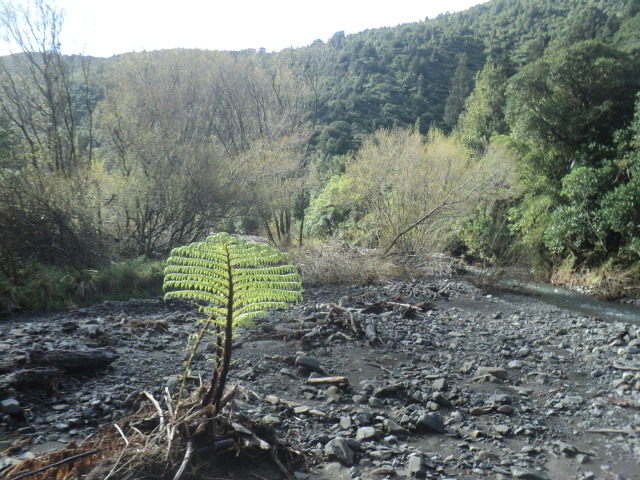
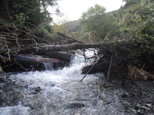
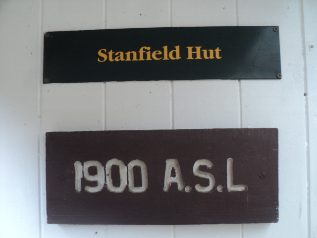
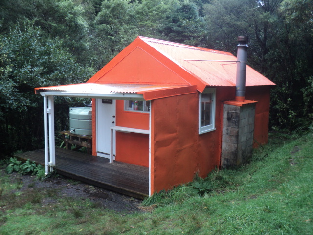
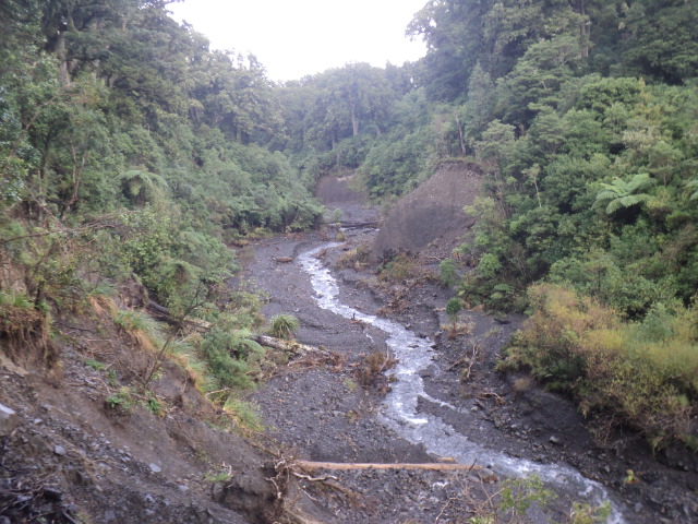
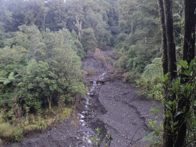
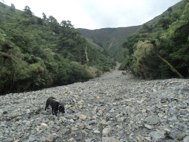
Went for another hike up there the other day.Up the creek to stanfield hut then came back holmes ridge.Bit of deer sign around.Found a steel in the creek.The cyclone has made the creek route way easier than it use to be.
Attachment 224004
Attachment 224005
Attachment 224006
Attachment 224007
Attachment 224008
Attachment 224009
Attachment 224010
Attachment 224011
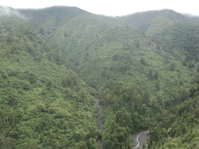
View from the ridge looking down onto Tamaki Stream.
Attachment 224079
Attachment 224080
Considering the high number of deer in the western Ruahines there don't seem to be a lot come out of the Tamiki. Is that correct.
Years ago I got a few out of the dry creek and the Rokai but it was never that hot. What about now?
While the not the huge numbers there are in the central ruahines there's still a lot of animals there Tahr, most slips after some glassing with provide a deer for your troubles, particularly up the dry creek and cats paw.Quote:
Originally Posted by Tahr
The bush edge is still holding plenty, the cullers next door have got around 50 on the edge in the last 2 months, I'm guessing mid winter it will hold more animals now its all in trees.
Sent from my SM-S916B using Tapatalk
Cheers. I should wander up there for old times sake. Would you go up the dry creek or the ridge with the track on it on its true left?Quote:
Originally Posted by BRADS
I'd go up the track, there's a few good viewing places there you'll no doubt find mate.Quote:
Originally Posted by Tahr
Flick me a message when ya do ill see where I am.
Sent from my SM-S916B using Tapatalk
Get me a quad up the ridge @BRADS:thumbsup:
In my humble opinion, in your location a quad may will not suit the terrain, weather and your missions. Considering the investment of a Honda, maybe a 4.0 Wrangler, late 90s version soft top, lifted up, big mud shoes should get you there with loads. Before C19, good ones only cost about 15,000, now the price is about 25,000.
Most of theses fellas should be pilots as the heights they go.lol:DQuote:
Originally Posted by Black Rabbit
Had another wander around up there today.
Attachment 225455
Deer are shitting in the picnic area but aren't there when i go looksies.lol
Attachment 225456
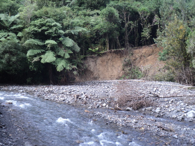
Dry creek is a gravel canyon now.
Attachment 225457
When I worked for FS out of Po Base back in the 80's,FRI assessed the rapid rate of stream aggrading and erosion in the Southern Ruahines was understood to be the highest in the world.Perhaps slanted with a bit of bias by the boffins,but substantial nevertheless.Notibly theses loadings occurring towards the end of several decades of commercial take of coons and venison when pest numbers were @ historic lows.Seemed to debunk the red menace rhetoric.Pretty sure the 120 mile long Canty plains were built up long before the Acclimatization Society released the herd up the Mathias in the 18 hundreds