


 LinkBack URL
 About LinkBacks
Ok if using a topo map, but not accurate enough at seaOriginally Posted by RUMPY

Welcome guest, is this your first visit? Create Account now to join.
Welcome to the NZ Hunting and Shooting Forums.
Search Forums


User Tag List
Results 1 to 11 of 11
 7Likes
Thread: Gps coordinates
Threaded View


 Reply With Quote
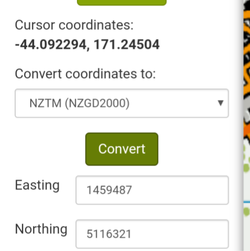
Tags for this Thread
 Posting Permissions
- You may not post new threads
- You may not post replies
- You may not post attachments
- You may not edit your posts
Welcome to NZ Hunting and Shooting Forums! We see you're new here, or arn't logged in. Create an account, and Login for full access including our FREE BUY and SELL section Register NOW!!
All times are GMT +13. The time now is 09:54 PM.

Bookmarks